Detailed Trip Part Map 38°19'N, 23°17'E - 38°23'N, 23°38'E
Sun Aug 19, 2001. From 0.33 km W of Staniates (populated place) (topological, street map) (12:19:12) to 1.58 km SE of Stroulongo (mountain) (topological, street map) (12:35:48) covering a travel distance of 32.13 km at an average speed of 116 km/h over an area of 210 sq km. Duration 16 minute(s), travel time 16 minute(s).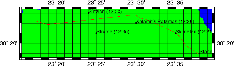
Trip index Previous Next