Detailed Trip Part Map 38°5'N, 23°38'E - 38°19'N, 23°51'E
Sun Aug 19, 2001. From 2.08 km S of Kastraki (hill) (topological, street map) (11:48:55) to 0.49 km SE of Staniates (populated place) (topological, street map) (12:18:51) covering a travel distance of 41.51 km at an average speed of 83 km/h over an area of 503 sq km. Duration 29 minute(s), travel time 29 minute(s).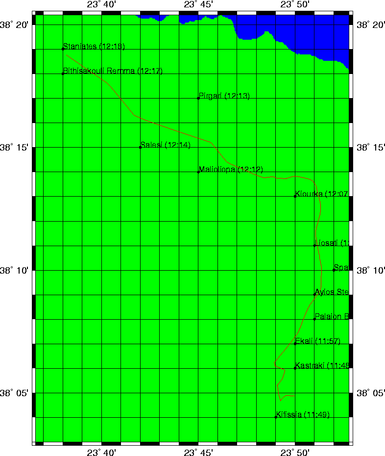
Trip index Previous Next