Trip Leg Map 40°10'N, 23°59'E - 40°20'N, 24°16'E
Wed Aug 22, 2001. From 0.95 km SW of Prosforiou (populated place) (topological, street map) (13:37:50) to 1.64 km W of Moni Ayiou Dhionisiou (monastery) (topological, street map) (15:34:21) covering a travel distance of 34.63 km at an average speed of 17 km/h over an area of 468 sq km. Duration 01:56, travel time 01:56.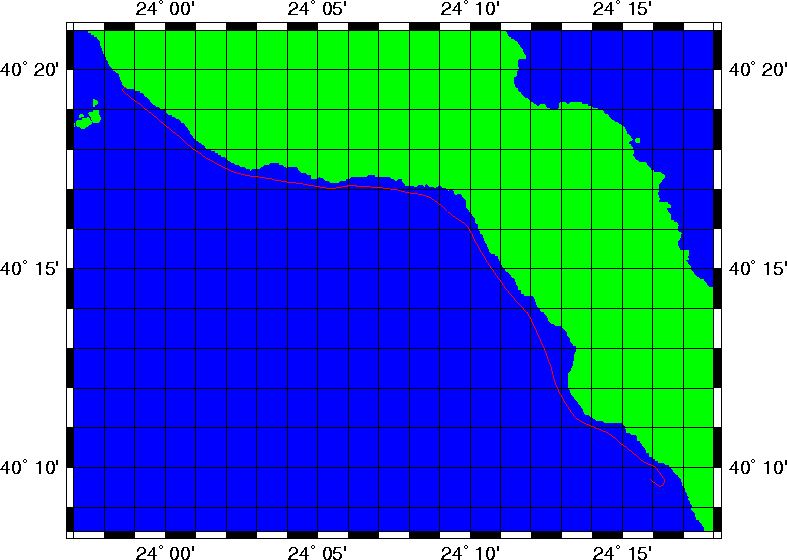
Photos: 1 2 3 4 5 6 7 8 9 10 11 12 13 14 15 16 17 18 19 20 21 22 23 24
Trip index Previous Next