Detailed Trip Part Map 40°19'N, 23°55'E - 40°21'N, 23°55'E
Wed Aug 22, 2001. From 0.73 km NE of Cape Trigona (cape) (topological, street map) (18:27:20) to 1.50 km S of Muliani (island) (topological, street map) (18:55:44) covering a travel distance of 6.86 km at an average speed of 14 km/h over an area of 3 sq km. Duration 28 minute(s), travel time 28 minute(s).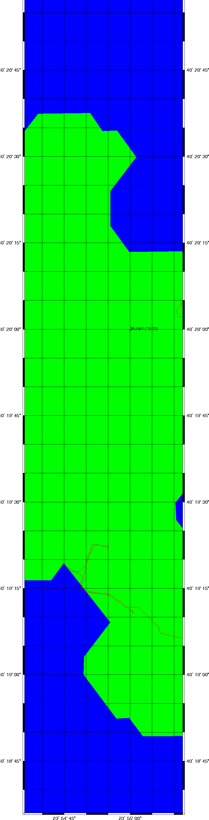
Trip index Previous Next