Detailed Trip Part Map 39°40'N, 22°28'E - 39°56'N, 22°38'E
Sun Aug 19, 2001. From 1.03 km S of Khasambali (populated place) (topological, street map) (15:11:38) to 2.97 km N of Omolion (populated place) (topological, street map) (15:53:09) covering a travel distance of 33.77 km at an average speed of 70 km/h over an area of 392 sq km. Duration 41 minute(s), travel time 28 minute(s).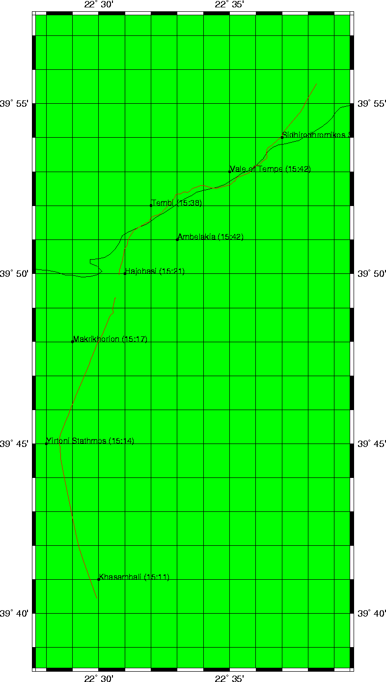
Trip index Previous Next