Detailed Trip Part Map 38°53'N, 22°48'E - 39°10'N, 22°55'E
Sun Aug 19, 2001. From 1.08 km SW of Cape Tapia (cape) (topological, street map) (14:04:38) to 1.33 km E of Neos Platanos (populated place) (topological, street map) (14:26:57) covering a travel distance of 37.75 km at an average speed of 101 km/h over an area of 307 sq km. Duration 22 minute(s), travel time 22 minute(s).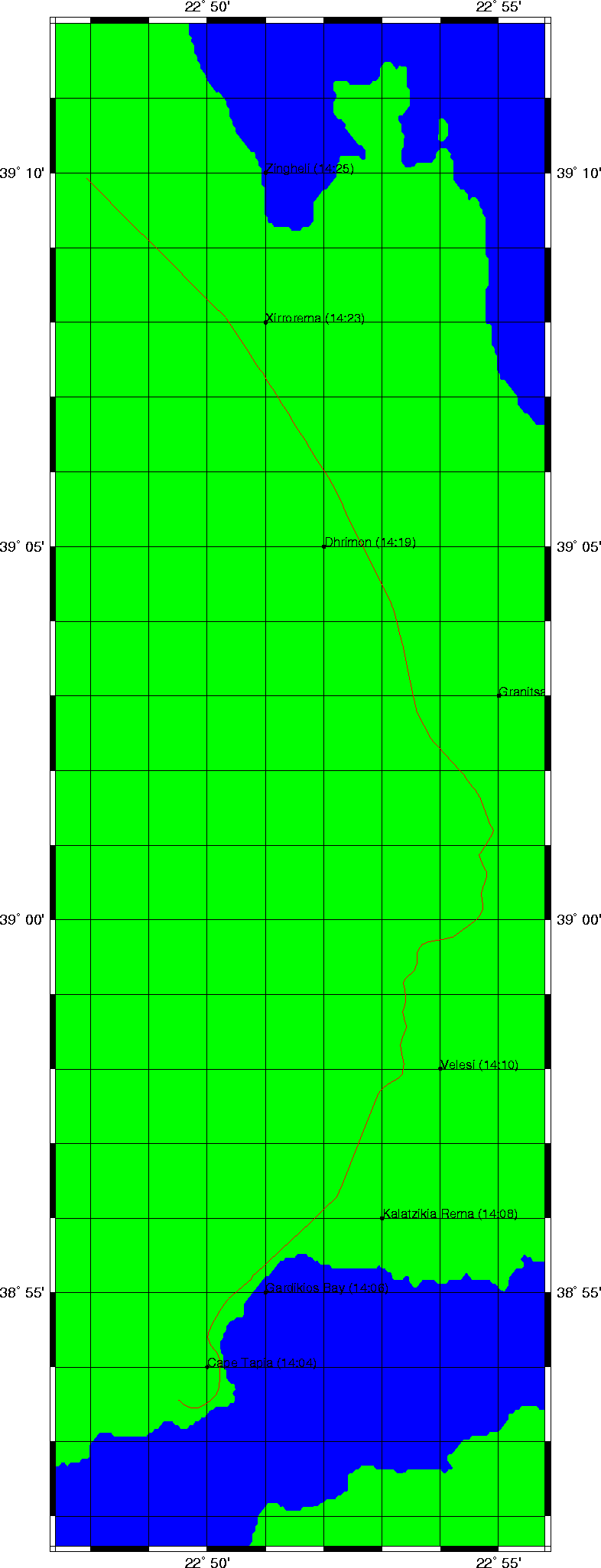
Trip index Previous Next