Trip Leg Map 38°5'N, 22°27'E - 40°20'N, 23°51'E
Sun Aug 19, 2001. From 2.08 km S of Kastraki (hill) (topological, street map) (11:48:55) to 1.32 km N of Sidhirodhromikos Stathmos Korinou (railroad station) (topological, street map) (16:26:05) covering a travel distance of 427.50 km at an average speed of 97 km/h over an area of 30581 sq km. Duration 04:37, travel time 04:24.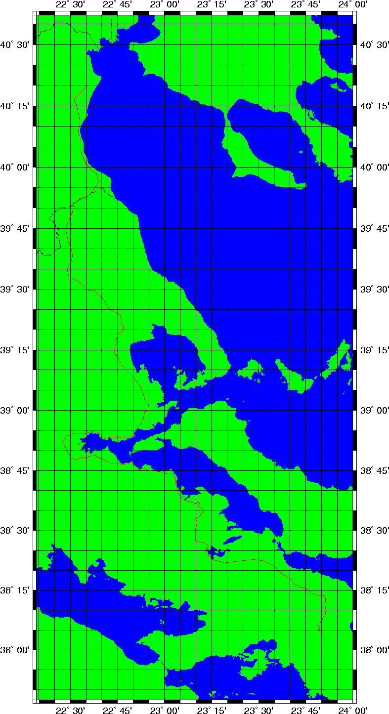
Trip index Previous Next